See every permit, crime, and violation near any Chicago address — free.
Vet a block before you sign a lease or make an offer, using the city’s own records instead of star ratings.
Free to explore the map — no account needed.
Understand your neighborhood,
block by block
Chicago publishes an enormous amount about every block: permits, crime reports, code violations, 311 complaints. CivicScout puts it all on one map so you can actually use it.
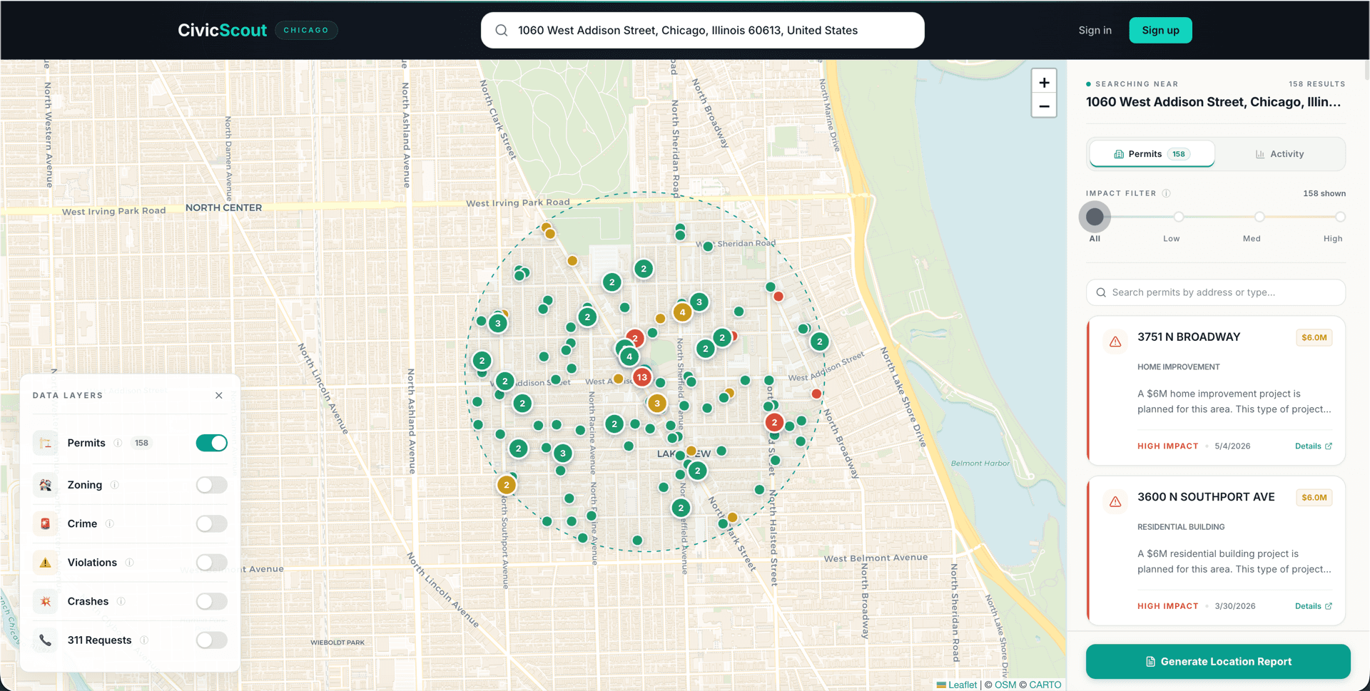
See what’s being built around any address
Search near Wrigley Field and the map lights up with 158 active permits, from kitchen remodels to a pair of $6M projects flagged high-impact. Click any marker for the contractor, the estimated cost, and a plain-English read on how it will affect the block.
- AI scores each permit’s real-world impact, so a garage repair doesn’t look like a gut rehab
- Turn on the zoning layer to see what’s allowed next door before it gets built
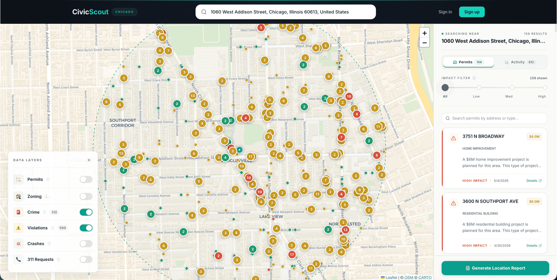
Block-level safety data. Not just city averages.
That same half mile holds 312 crime incidents from the last 60 days, plus hundreds of open building violations. Every one is plotted where it happened, with the type and date, so you can tell a rowdy corner from a quiet street two blocks over.
- Crime, violations, and traffic crashes on separate layers you can toggle
- Filter by severity when you only care about the serious stuff
- Works for any Chicago address, not just the famous ones
Take the whole picture with you
When you’re serious about an address, generate a report: walkability, school zones, flood risk, air quality, demographics, and the property’s full civic history, including every past permit, violation, and complaint on file. Share it as a PDF, or subscribe and we’ll email you when something new happens nearby.
- The address-history timeline surfaces old violations and chronic complaints before you commit
- Weekly digests flag new permits and incidents near addresses you’re watching
See what the city knows about your block
Free to explore the map. No account needed.
Verified public records, deep coverage of Chicago — more cities on the way.