Every crime, crash, and violation, pinned to its address
Crime incidents, building violations, and traffic crashes mapped at the address level. The granular picture that neighborhood guides miss.
Search an address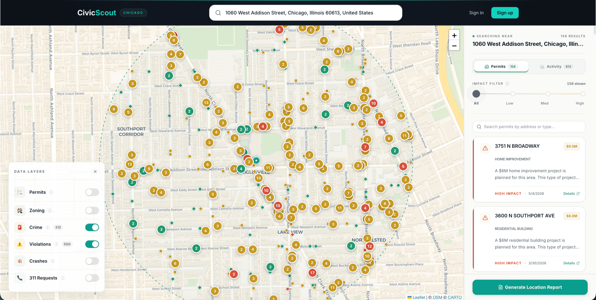
How to read your block's safety
Search your address
Toggle safety layers
Filter by severity
The data behind the layers
Crime incidents
Recent crime data mapped at the individual incident level. See type, date, and precise location — not just aggregated neighborhood stats. Filter by severity to focus on violent crime vs. property crime.
Building violations
Open building code violations flagged by city inspectors. These can signal neglected properties, unsafe conditions, or landlord issues — information that matters whether you're renting or buying.
Traffic crashes & 311 requests
Traffic crash data and 311 service requests round out the neighborhood activity picture. See which intersections are dangerous and what residents are reporting to the city.
Check the safety profile of any address
Search any Chicago address to see crime, violations, crashes, and more within a ½-mile radius.